Home / Traffic cameras / A10 North of Waterson St

A10 North of Waterson St

Live TfL traffic camera. The picture updates every few minutes. View: Basing Place.

LIVEPowered by TfL Open Data
Open on the map

Roadworks within 500 m

  • Great Eastern Street
    TRANSPORT FOR LONDON (TFL) · 17 Oct 2026 → 12 Dec 2026
    High
  • Hare Walk
    London Borough Of Hackney · 10 Jan 2026 → 9 Jan 2028
    High
  • Hoxton Street
    London Borough Of Hackney · 12 Dec 2025 → 11 Dec 2027
    High
  • Stanway Street
    London Borough Of Hackney · 9 Jan 2026 → 8 Jan 2028
    High
  • Pitfield Street
    LONDON BOROUGH OF HACKNEY · 22 Oct 2026 → 26 Oct 2026
    High
  • Wilks Place
    THAMES WATER · 16 Nov 2026 → 29 Nov 2026
    High
  • Rivington Street
    CITY OF LONDON TELECOMMS · 27 Oct 2026 → 29 Oct 2026
    High
  • Stanway Street
    LONDON BOROUGH OF HACKNEY · 22 Jan 2027 → 22 Jan 2027
    High
  • Rivington Street
    LONDON BOROUGH OF HACKNEY · 21 Oct 2026 → 26 Oct 2026
    High
  • Regan Way
    LONDON BOROUGH OF HACKNEY · 22 Jan 2027 → 22 Jan 2027
    High

Pin this camera and get road alerts in the app →

Nearby cameras

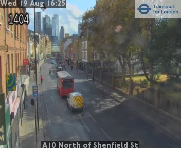
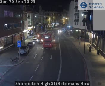
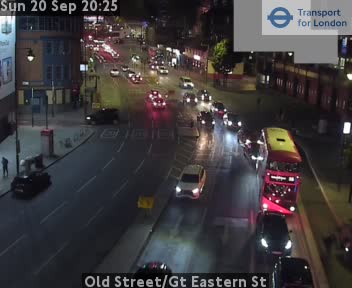
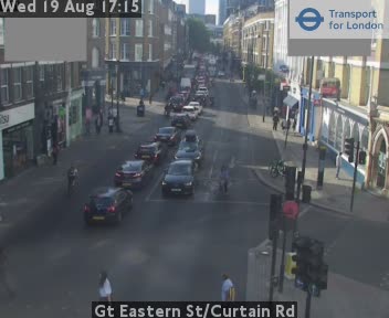
A10 North of Shenfield St260 m awayCurtain Rd / Old Street284 m awayShoreditch High St/Batemans Row410 m awayOld Street/Gt Eastern St517 m awayGt Eastern St/Curtain Rd528 m awayGt Eastern St/Holywell Ln550 m away
Camera images: Powered by TfL Open Data. Roadworks: DfT Street Manager; contains public sector information licensed under the Open Government Licence v3.0. All London cameras · Live map · Roadworks by council
Get the weekly roadworks email for your area
Drop in your postcode — your first digest arrives within minutes, then every Monday. Free, no account, one-click unsubscribe.