Home / Traffic cameras / A12 Eastern Av/Brook Rd
A12 Eastern Av/Brook Rd
Live TfL traffic camera. The picture updates every few minutes. View: Zoom-Aldborough Road South.
Roadworks within 500 m
-
HighCrownfield Avenue
-
HighAbbey Road
-
HighAbbey Road
-
HighAbbey Road
-
HighOaks Lane
-
HighPerrymans Farm Road
-
HighPerrymans Farm Road
-
HighPerrymans Farm Road
-
HighPerrymans Farm Road
-
HighNetley Road
Nearby cameras
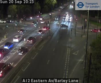 A12 Eastern Av/Barley Lane1.8 km away
 A12 Eastern Ave/Gants Hill R-About1.9 km away
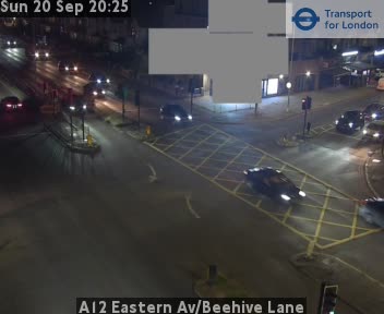 A12 Eastern Av/Beehive Lane2.3 km away
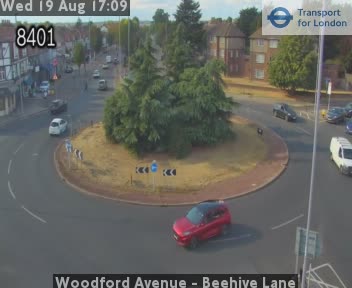 Woodford Avenue - Beehive Lane2.5 km away
 A118 Romford Rd/A406 Ncr2.9 km away
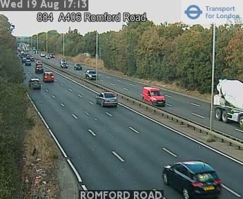 ROMFORD ROAD2.9 km away
Camera images: Powered by TfL Open Data. Roadworks: DfT Street Manager; contains public sector information licensed under the Open Government Licence v3.0. All London cameras · Live map · Roadworks by council