Home / Traffic cameras / DURSLEY ROAD
DURSLEY ROAD
Live TfL traffic camera. The picture updates every few minutes. View: Kent bound.
Roadworks within 500 m
-
HighRochester Way Relief Road
-
HighRochester Way Relief Road
-
HighDursley Road
-
HighHolburne Road
-
MinorKidbrooke Grove
-
MinorKidbrooke Park Road
-
MinorHolburne Road
-
MinorRochester Way
Nearby cameras
 A2 Kidbrooke Junction438 m away
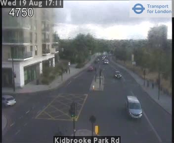 Kidbrooke Park Rd774 m away
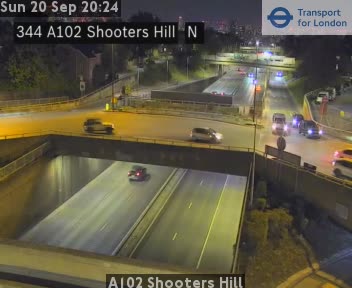 A102 Shooters Hill785 m away
 Shooters Hill Rd/Charlton Pk Ln912 m away
 Shooters Hill Rd/P o wales Rd1.1 km away
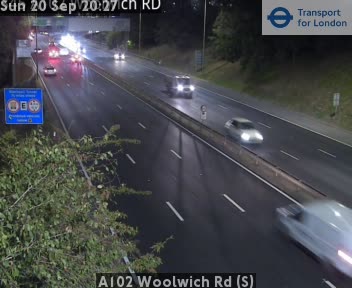 A102 Woolwich Rd (S)1.4 km away
Camera images: Powered by TfL Open Data. Roadworks: DfT Street Manager; contains public sector information licensed under the Open Government Licence v3.0. All London cameras · Live map · Roadworks by council