Home / Traffic cameras / East India Dock Rd/Chrisp St
East India Dock Rd/Chrisp St
Live TfL traffic camera. The picture updates every few minutes. View: East India Dock Rd – West.
Roadworks within 500 m
-
HighBlackwall Tunnel
-
HighBlackwall Tunnel Northern Approach
-
HighBlackwall Tunnel Northern Approach
-
HighBlackwall Tunnel Northern Approach
-
HighBrunswick Road
-
HighBlackwall Tunnel Northern Approach
-
MediumWoolmore Street
-
MediumEast India Dock Road
-
MediumEast India Dock Road
-
MediumEast India Dock Road
Nearby cameras
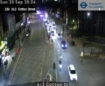 A13 Cotton St223 m away
 A13 East India Dock/Cotton St298 m away
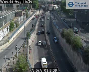 A13/A102 EIDR445 m away
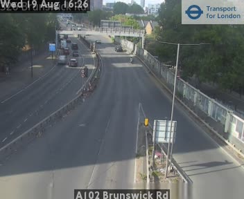 A102 Brunswick Rd472 m away
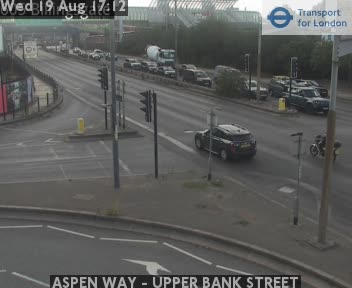 ASPEN WAY - UPPER BANK STREET483 m away
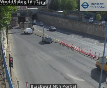 Blackwall Nth Portal505 m away
Camera images: Powered by TfL Open Data. Roadworks: DfT Street Manager; contains public sector information licensed under the Open Government Licence v3.0. All London cameras · Live map · Roadworks by council