Home / Traffic cameras / Graham Rd/Dalston Lane

Graham Rd/Dalston Lane

Live TfL traffic camera. The picture updates every few minutes. View: Zoom – Dalston Lane.

LIVEPowered by TfL Open Data
Open on the map

Roadworks within 500 m

  • Lenthall Road
    LONDON BOROUGH OF HACKNEY · 11 Feb 2027 → 12 Feb 2027
    High
  • Richmond Road
    LONDON BOROUGH OF HACKNEY · 4 Apr 2027 → 2 May 2027
    High
  • Forest Road
    LONDON BOROUGH OF HACKNEY · 2 Dec 2026 → 15 Dec 2026
    High
  • Forest Road
    LONDON BOROUGH OF HACKNEY · 7 Dec 2026 → 18 Dec 2026
    High
  • Elrington Road
    CADENT GAS LIMITED · 21 Oct 2026 → 27 Oct 2026
    High
  • Bentley Road
    LONDON BOROUGH OF HACKNEY · 22 Oct 2026 → 26 Oct 2026
    High
  • Dalston Lane
    LONDON BOROUGH OF HACKNEY · 2 Feb 2027 → 4 Feb 2027
    High
  • Kingsland High Street
    TRANSPORT FOR LONDON (TFL) · 20 Oct 2026 → 3 Nov 2026
    High
  • Wayland Avenue
    LONDON BOROUGH OF HACKNEY · 21 Oct 2026 → 23 Oct 2026
    High
  • Colvestone Crescent
    London Borough Of Hackney · 2 May 2026 → 1 May 2028
    High

Pin this camera and get road alerts in the app →

Nearby cameras

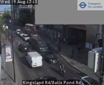
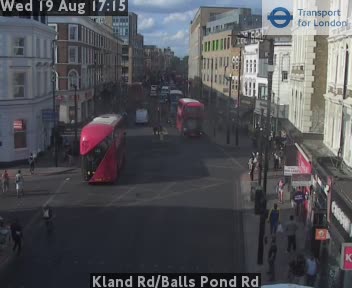
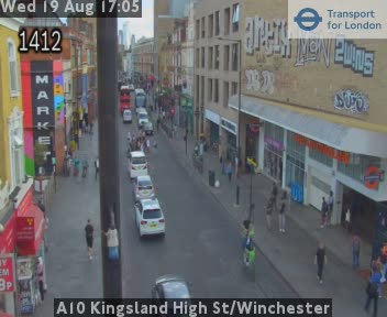
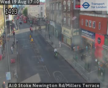
Kingsland Rd/Balls Pond Rd433 m awayKland Rd/Balls Pond Rd436 m awayA10 Kingsland High St/Winchester477 m awayA10 Kingsland Rd/Stamford St508 m awayA10 Stoke Newington Rd/Millers Terrace675 m awayA10 Stoke Newington Rd/Barretts Grove763 m away
Camera images: Powered by TfL Open Data. Roadworks: DfT Street Manager; contains public sector information licensed under the Open Government Licence v3.0. All London cameras · Live map · Roadworks by council
Get the weekly roadworks email for your area
Drop in your postcode — your first digest arrives within minutes, then every Monday. Free, no account, one-click unsubscribe.