Home / Traffic cameras / Hanger Lane/Uxbridge Rd
Hanger Lane/Uxbridge Rd
Live TfL traffic camera. The picture updates every few minutes. View: North – A406 twds A40.
Roadworks within 500 m
-
HighUxbridge Road
-
HighWolverton Gardens
-
HighWolverton Gardens
-
HighWolverton Gardens
-
HighWolverton Gardens
-
HighWolverton Gardens
-
HighWolverton Gardens
-
HighHamilton Road
-
MediumUxbridge Road
-
MediumUxbridge Road
Nearby cameras
 Hanger Lane/Queens Parade579 m away
 The Broadway/Windsor Rd641 m away
 Gunnersbury Ave/Gunnersbury Drive956 m away
 A406 Gunnersbury Ave/Gunnersbury Ln1.3 km away
 Uxbridge Rd/Chapel Rd1.9 km away
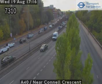 A40 / Near Connell Crescent1.9 km away
Camera images: Powered by TfL Open Data. Roadworks: DfT Street Manager; contains public sector information licensed under the Open Government Licence v3.0. All London cameras · Live map · Roadworks by council