Home / Traffic cameras / Leyton Rd/Montfichet Rd/Penny Brookes St
Leyton Rd/Montfichet Rd/Penny Brookes St
Live TfL traffic camera. The picture updates every few minutes. View: WEST – Penny Brookes Street twds Westfield and train station.
Roadworks within 500 m
-
HighSimons Walk
-
HighMaryland Road
-
HighLeyton Road
-
HighLeyton Road
-
HighLiberty Bridge Road
-
HighChobham Road
-
HighLeyton Road
-
HighBrydges Road
-
MediumGreat Eastern Road
-
MediumGreat Eastern Road
Nearby cameras
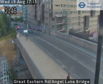 Great Eastern Rd/Angel Lane Bridge267 m away
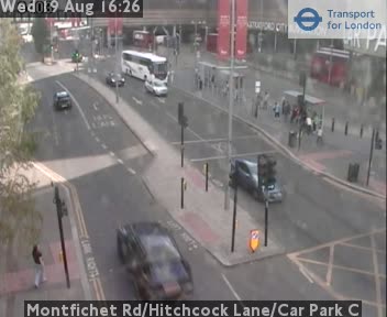 Montfichet Rd/Hitchcock Lane/Car Park C286 m away
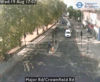 Major Rd/Crownfield Rd532 m away
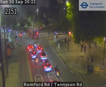 Romford Rd / Tennyson Rd655 m away
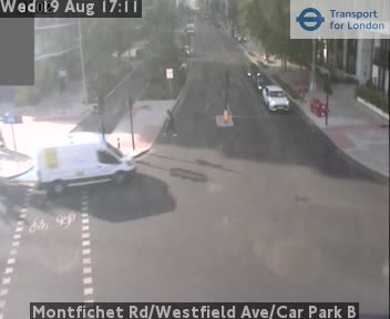 Montfichet Rd/Westfield Ave/Car Park B679 m away
 Stratford Broadway/Gt Eastern Rd808 m away
Camera images: Powered by TfL Open Data. Roadworks: DfT Street Manager; contains public sector information licensed under the Open Government Licence v3.0. All London cameras · Live map · Roadworks by council