Home / Traffic cameras / The Highway/Vaughan Way

The Highway/Vaughan Way

Live TfL traffic camera. The picture updates every few minutes. View: SOUTH-Vaughan Way.

LIVEPowered by TfL Open Data
Open on the map

Roadworks within 500 m

  • Chamber Street
    NETWORK RAIL · 18 Jan 2027 → 19 Jan 2027
    High
  • Back Church Lane
    UK POWER NETWORKS EASTERN & LONDON · 23 Nov 2026 → 1 Dec 2026
    High
  • Christian Street
    NETWORK RAIL · 2 Nov 2026 → 5 Nov 2026
    High
  • Christian Street
    NETWORK RAIL · 2 Nov 2026 → 5 Nov 2026
    High
  • Berchmans Close
    THAMES WATER · 16 Nov 2026 → 19 Nov 2026
    High
  • Pennington Street
    LONDON BOROUGH OF TOWER HAMLETS · 23 Nov 2026 → 11 Dec 2026
    Medium
  • Pennington Street
    LONDON BOROUGH OF TOWER HAMLETS · 2 Nov 2026 → 20 Nov 2026
    Medium
  • Artichoke Hill
    LONDON BOROUGH OF TOWER HAMLETS · 2 Nov 2026 → 20 Nov 2026
    Medium
  • Artichoke Hill
    LONDON BOROUGH OF TOWER HAMLETS · 23 Nov 2026 → 11 Dec 2026
    Medium
  • The Highway
    TRANSPORT FOR LONDON (TFL) · 6 Dec 2025 → 30 Nov 2026
    Medium

Pin this camera and get road alerts in the app →

Nearby cameras

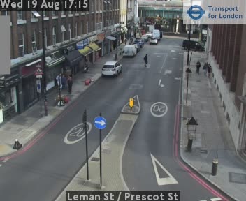
Leman St / Prescot St353 m awayTower Bridge App./East Smithfield427 m awayGoodmans Yard/ Mansell Street452 m awayThe Highway/Wapping Lane612 m awayCommercial Rd/Gowers Walk654 m awayCommercial Rd/New Rd737 m away
Camera images: Powered by TfL Open Data. Roadworks: DfT Street Manager; contains public sector information licensed under the Open Government Licence v3.0. All London cameras · Live map · Roadworks by council
Get the weekly roadworks email for your area
Drop in your postcode — your first digest arrives within minutes, then every Monday. Free, no account, one-click unsubscribe.