Home / Traffic cameras / Theobalds Rd/Boswell St

Theobalds Rd/Boswell St

Live TfL traffic camera. The picture updates every few minutes. View: Zoom-Southampton Row jct.

LIVEPowered by TfL Open Data
Open on the map

Roadworks within 500 m

  • Lincoln'S Inn Fields
    Uk Power Networks Eastern & London · 2 Nov 2026 → 10 Nov 2026
    High
  • Kingsway
    LONDON BOROUGH OF CAMDEN · 24 Sept 2026 → 4 Nov 2026
    High
  • High Holborn
    LONDON BOROUGH OF CAMDEN · 24 Oct 2026 → 25 Oct 2026
    High
  • High Holborn
    LONDON BOROUGH OF CAMDEN · 24 Oct 2026 → 25 Oct 2026
    High
  • Coptic Street
    THAMES WATER · 2 Nov 2026 → 4 Nov 2026
    High
  • Catton Street
    UK POWER NETWORKS EASTERN & LONDON · 9 Nov 2026 → 13 Nov 2026
    High
  • Vernon Place
    THAMES WATER · 11 Jan 2027 → 13 Jan 2027
    High
  • Theobald'S Road
    VIRGIN MEDIA · 22 Oct 2026 → 22 Oct 2026
    High
  • Great Queen Street
    VODAFONE GROUP · 29 Oct 2026 → 30 Oct 2026
    Medium
  • Remnant Street
    TRANSPORT FOR LONDON (TFL) · 10 Nov 2026 → 10 Nov 2026
    Medium

Pin this camera and get road alerts in the app →

Nearby cameras

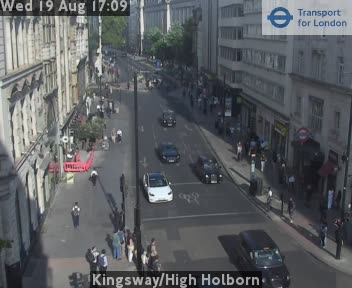
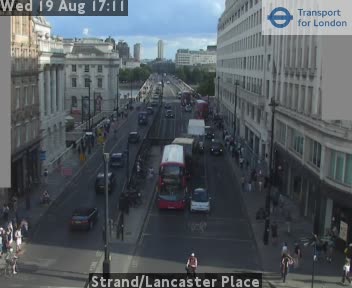
Southampton Row/Vernon Place87 m awayKingsway/High Holborn212 m awayShaftesbury Ave/High Holborn595 m awaySt Giles Circus781 m awayRosebery Av/Mount Pleasant843 m awayStrand/Lancaster Place909 m away
Camera images: Powered by TfL Open Data. Roadworks: DfT Street Manager; contains public sector information licensed under the Open Government Licence v3.0. All London cameras · Live map · Roadworks by council
Get the weekly roadworks email for your area
Drop in your postcode — your first digest arrives within minutes, then every Monday. Free, no account, one-click unsubscribe.