Home / Traffic cameras / Upper Clapton Rd/Rossington St
Upper Clapton Rd/Rossington St
Live TfL traffic camera. The picture updates every few minutes. View: A107 Upper Clapton Rd jw Rossington St EB.
Roadworks within 500 m
-
HighBrooke Road
-
HighReighton Road
-
HighNorthwold Road
-
HighNorthwold Road
-
HighMount Pleasant Hill
-
HighMount Pleasant Lane
-
HighMount Pleasant Lane
-
HighChardmore Road
-
MediumUpper Clapton Road
-
MediumGunton Road
Nearby cameras
 A107 Upper Clapton Rd/Southwold Rd264 m away
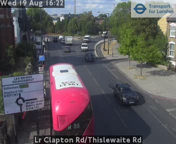 Lr Clapton Rd/Thislewaite Rd808 m away
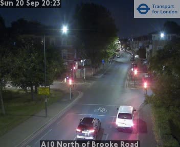 A10 North of Brooke Road866 m away
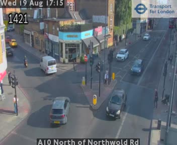 A10 North of Northwold Rd967 m away
 A10 Stamford Hill/Lampard Grove992 m away
 A10 North of Tyssen Road1.1 km away
Camera images: Powered by TfL Open Data. Roadworks: DfT Street Manager; contains public sector information licensed under the Open Government Licence v3.0. All London cameras · Live map · Roadworks by council