Home / Traffic cameras / Victoria St/Bressenden Place
Victoria St/Bressenden Place
Live TfL traffic camera. The picture updates every few minutes. View: Zoom – Palace Street jct.
Roadworks within 500 m
-
HighVictoria Street
-
HighVictoria Street
-
HighBuckingham Palace Road
-
HighBelgrave Road
-
HighWarwick Way
-
HighBelgrave Road
-
HighBridge Place
-
HighHobart Place
-
HighBuckingham Palace Road
-
HighBuckingham Palace Road
Nearby cameras
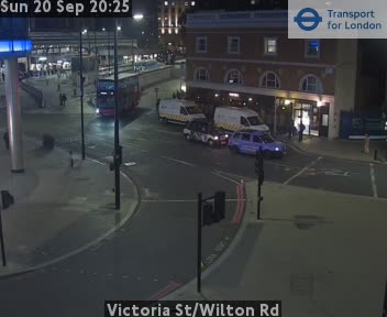 Victoria St/Wilton Rd69 m away
 Victoria St / Buckingham Palace Rd155 m away
 Buckingham Palace Rd/Eaton Lane224 m away
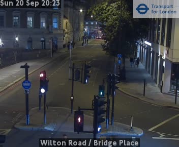 Wilton Road / Bridge Place247 m away
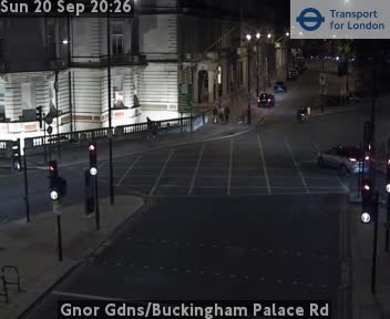 Gnor Gdns/Buckingham Palace Rd280 m away
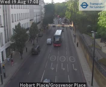 Hobart Place/Grosvenor Place412 m away
Camera images: Powered by TfL Open Data. Roadworks: DfT Street Manager; contains public sector information licensed under the Open Government Licence v3.0. All London cameras · Live map · Roadworks by council