Home / Traffic cameras / Westhorn Av E of Burnt Ash Hill
Westhorn Av E of Burnt Ash Hill
Live TfL traffic camera. The picture updates every few minutes. View: Zoom – Baring Road jct.
Roadworks within 500 m
-
HighBaring Road (22005120), St Mildred, Grove Park, Greater London
-
HighBurnt Ash Hill
-
MediumWesthorne Avenue
-
MediumBurnt Ash Hill
-
MinorSummerfield Street
-
MinorBaring Road
-
MinorParkcroft Road
-
MinorBurnt Ash Hill
-
MinorDallinger Road
Nearby cameras
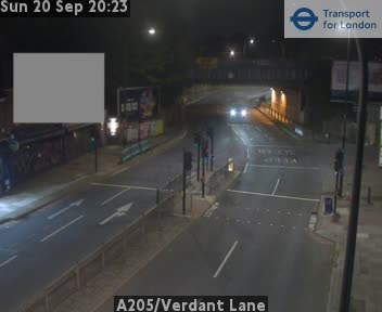 A205/Verdant Lane732 m away
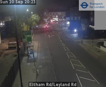 Eltham Rd/Leyland Rd1.1 km away
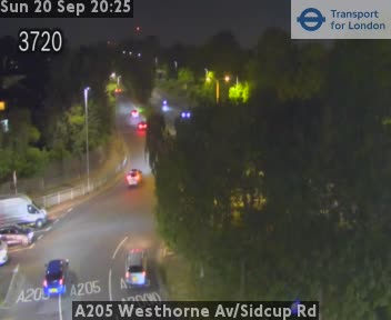 A205 Westhorne Av/Sidcup Rd1.1 km away
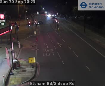 Eltham Rd/Sidcup Rd1.2 km away
 A20 Lee High Rd/Lampmead Rd1.3 km away
 Lee High Rd/Old Rd1.6 km away
Camera images: Powered by TfL Open Data. Roadworks: DfT Street Manager; contains public sector information licensed under the Open Government Licence v3.0. All London cameras · Live map · Roadworks by council